January 22, 2024 / Author: the Railyards
Put the rubber to the road and get cycling on these ten swoon-worthy Sacramento area bike trails.
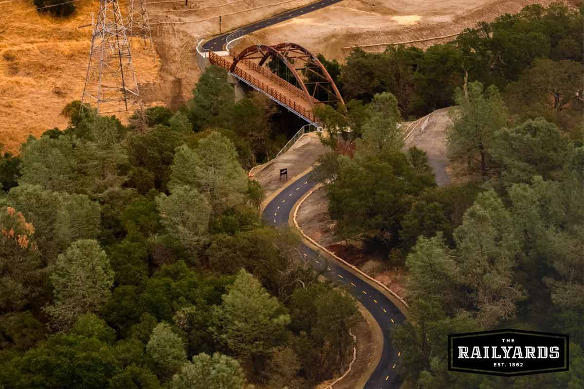
Photo of the Johnny Cash Trail courtesy of Coruscating Images.
With Sacramento becoming ever more bike-friendly by the day, there are lots of ways to enjoy pedaling through California’s capital city.
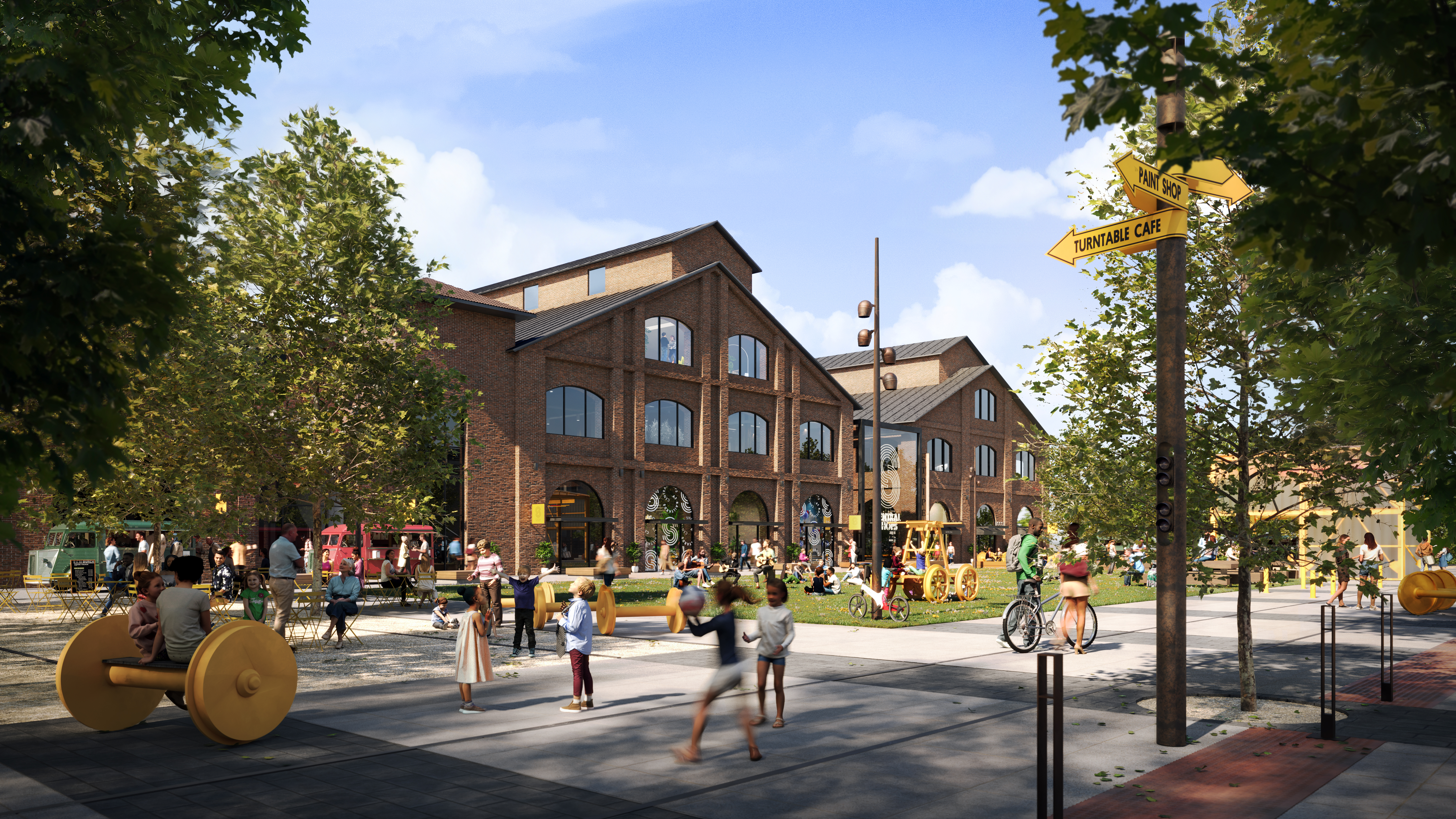
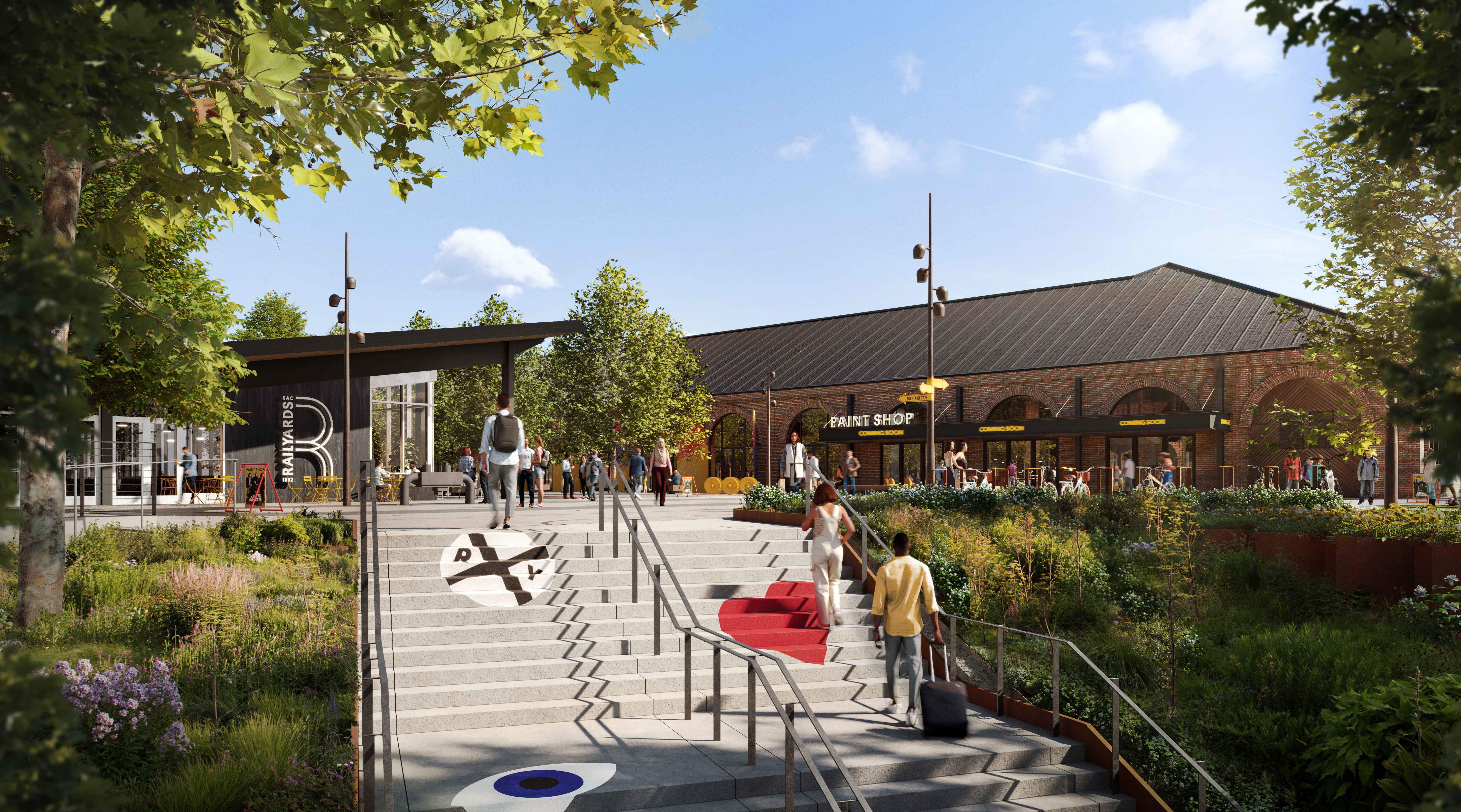
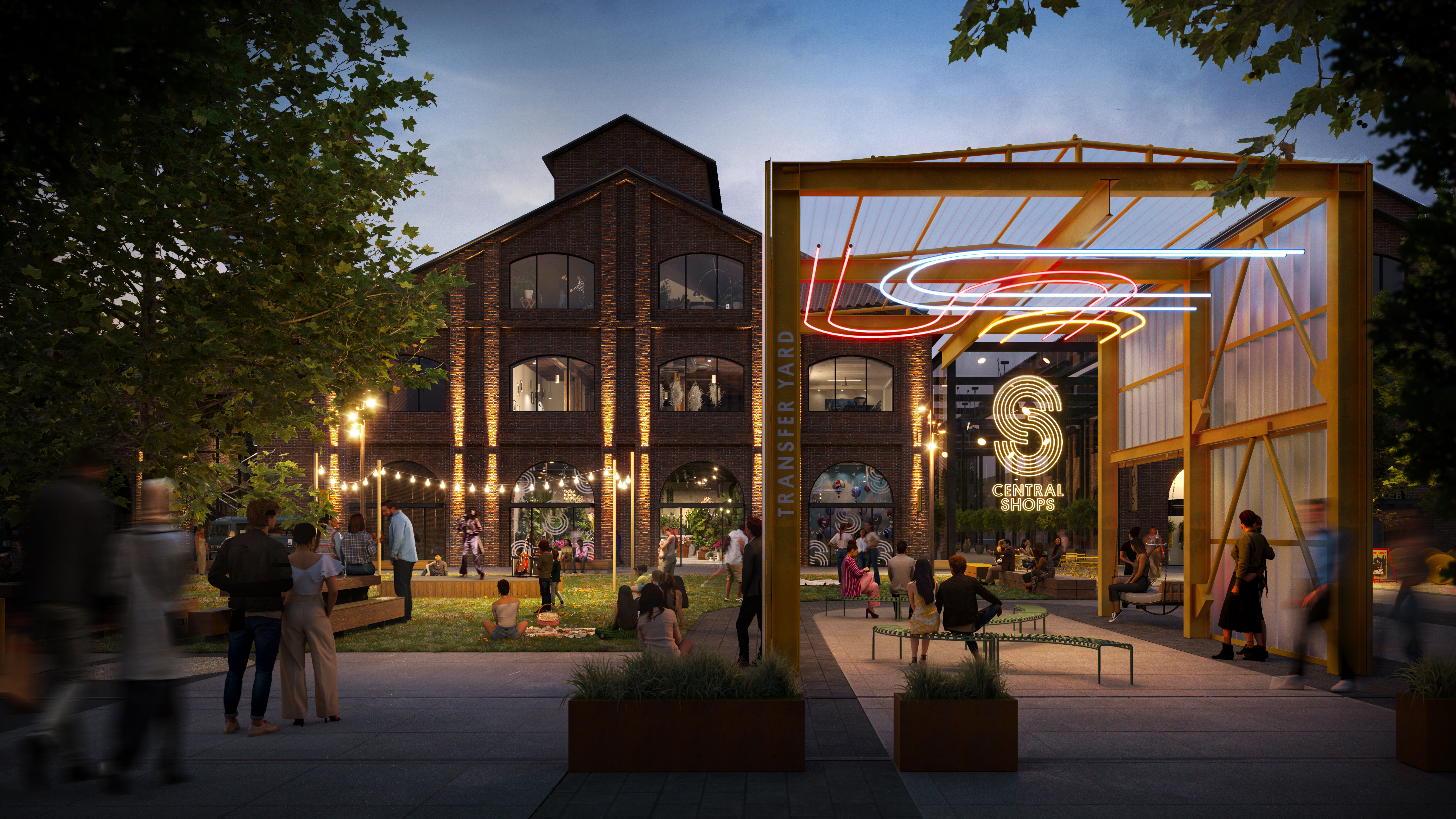
The successful launch of Jump bikes in Sacramento in May 2018 (now available on Uber and Lime apps) has further increased the popularity of bike riding in a city already spinning with enthusiasm for it. Development projects, like The Railyards, are taking cycling access and walkability into careful consideration when planning for city growth.
Here are 10 Sacramento bike trails you’re gonna love:
10 Swoon-worthy Sacramento Bike Trails to Love
1. Sacramento River Parkway Trail
Connecting Jibboom Street to Freeport Blvd, the Sacramento River Parkway Trail meanders along 9.3 miles of the Sacramento River.
The trail carries riders through Old Sacramento and past The Railyards, with plenty to see and do along the way. Linking to both the Two Rivers Trail and the American River Trail at its northern end, the Sacramento River Parkway Trail makes it easy to extend your ride for as long as you’d like.
2. Two Rivers Trail
Running adjacent to the American River, The Two Rivers Trail connects Jibboom Street to State Route 160 in northern downtown Sacramento.
Providing a connection to the longer Sacramento River Parkway Trail at its western end, the 2.5-mile trail offers scenic views of the American River at every turn.
There is currently a project underway to extend the trail farther east along the southern bank of the American River, eventually connecting it to California State University in Sacramento. The project also aspires to create easier access to the trail for those who’d like to enjoy it.
3. Sacramento Northern Bikeway
The Sacramento Northern Bike Trail begins at C Street in Sacramento and runs to Elverta Road in Rio Linda.
The 12-mile paved route takes riders through very rural areas as well as several historic neighborhoods.
With plenty of natural beauty to enjoy as you ride alongside Dry Creek, the Sacramento Northern Bikeway is a quiet trail with fewer bikers and runners than other area trails.
Sacramento’s Bike-Share Program Increases Fleet to Meet Demand
Incorporating the JUMP Bike program, Sacramento is working to alleviate traffic congestion while at the same time increasing community well-being.
4. Yolo Causeway Bike Path
Extending from West Capitol Avenue at I-80 in West Sacramento, the 3.7-mile Yolo Causeway Bike Path connects to County Route 32A, just east of Davis.
This trail runs parallel to I-80, carrying riders over the Yolo Bypass floodplain. On the west portion of the trail, cyclists can ride CR 32A a short distance to connect to the Old Highway 40 Bike Path, which carries them right into the heart of Davis.
5. American River Trail (Jedediah Smith Memorial Trail)
This trail runs all the way from Jibboom Street in Discovery Park – near Old Sacramento – to Beal’s Point near Folsom Lake.
Also known as the Jedediah Smith Memorial Trail, the 32-mile-long American River Bike Trail is used by around 5 million people annually.
Dating back to the 1800s, the original trail was created by Jedediah Smith, who broke a trail running from Old Sacramento to Folsom.
After automotive travel took over as the main mode of transportation, the trail was abandoned for many decades, to be rediscovered by cyclists and paved for riding in the 1970s.
The two-lane American River Trail passes many places to stop and eat, swim, or just take in the scenery. There are also plenty of restrooms and drinking fountains along the trail.
6. Johnny Cash Trail
If you’re riding the American River Bike Trail from Sacramento to Folsom, you’ll want to connect with the Johnny Cash Trail.
Running from Greenback Lane at the Folsom Powerhouse State Historic Park to the American River Bike Trail at Folsom Lake Crossing, the 2.5-mile Johnny Cash Trail was created to celebrate the Man in Black’s historic 1968 performance at Folsom Prison.
The two-lane trail meanders through grassy vistas of majestic oak trees, running directly alongside Folsom Prison grounds and past the iconic prison itself.
Coming soon! Cash’s Pick is almost here! On January 9th, 2023, the council approved progress to execute a contract for construction, bringing us one step closer to seeing this art piece on the trail.
7. Lake Natoma Trail
Running from Gold Lake Drive east of Folsom Boulevard to the American River Bike Trail at Hazel Avenue & Gold Country Road, this 6-mile trail offers a beautiful ride along the southeast side of Lake Natoma.
Offering plenty of shade in the heat of summer, this picturesque trail is a lovely offshoot of the main American River Trail and features an abundance of both wildlife and scenic beauty.
8. Pioneer Trail
Channel the spirits of past emigrants traveling through Gold Country on this 13-50 mile ride. Starting at the trailhead at Harmony Ridge all the way to Fuller Lake, you’ll see deeply rutted wagon tracks and roads that are still visible in some areas.
About 6.5 miles in, you’ll reach White Cloud Campground, where the trail kicks it up into high gear, where you’ll reach up to 5,500 ft (2,000 ft. elevation change) in elevation at the highest point along the trail.
On the way down, you can enjoy the fragrant conifers and wind in your hair, taking you back to the pioneers trekking centuries before.
9. Davis Bike Loop
If you’re looking for a casual ride that’s friendly for novice riders and those just enjoying the day out, the Davis Bike Loop is the perfect place. Not only is it within the Bike Capital of America, but you also begin at the UC Davis Arboretum, where you can enjoy the 100-acre garden and amble along the 12-mile trail.
As you move through UC Davis and into village homes, you’ll find a quaint neighborhood with orchards, grapevines, and chicken coops. After a couple of overpasses across town, you’ll find yourself in South Davis at Putah Creek Parkway, where you can enjoy the oaks and sprawling farms surrounding the area.
10. Jenkinson Lake Trail Loop
The real challenge on the Jenkinson Lake Trail Loop is not stopping every 5 minutes to take in the view of the gorgeous waterfront surrounded by snowcapped peaks of the Sierras and toothpick forests of ponderosa pines surrounding the area.
The trail takes you on a counterclockwise journey around the lake, starting on the southeastern edge with minor twists and climbs. About 3 miles in, you’ll find yourself at Park Creek Bridge suspended over rushing water, the perfect place to catch your breath and take in the beauty before you make your way, eventually ending right where you started.
With plenty of options for you to put the rubber to the road, jump on your bike, and explore all the trails that Sacramento has to offer.

